
The Pacific Coast Highway Road Trip: Pacing It Realistically
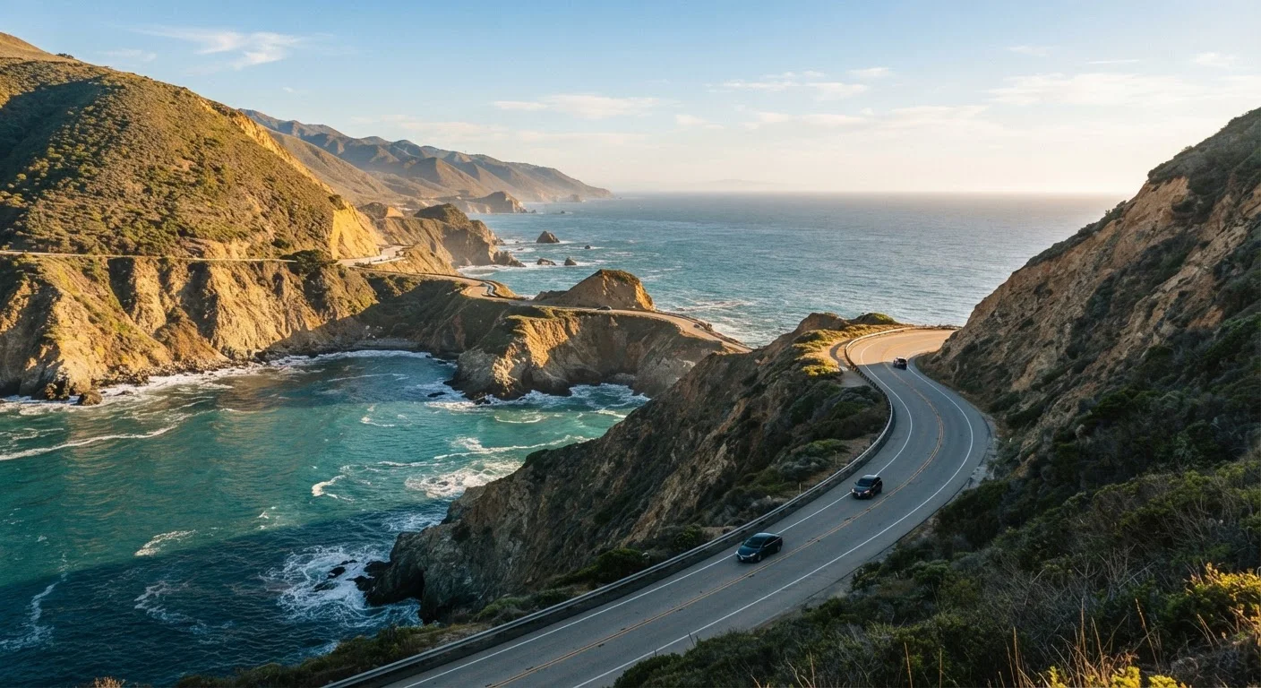
Photo credit: TrendingFaqs.com
In this article
How long does Highway 1 actually take? This guide breaks down stops, driving conditions, and how to plan a PCH trip without burning out.
Key Takeaways
- The full PCH from San Diego to San Francisco covers roughly 600 miles and realistically takes 7 to 10 days to enjoy properly.
- The Big Sur stretch requires the most time and attention due to narrow roads, limited fuel, and frequent closures.
- Driving more than 3 to 4 hours per day on Highway 1 leads to fatigue and missed experiences.
- Booking accommodation in Big Sur and Carmel well ahead is essential, especially in summer.
- Road conditions on Highway 1 can change quickly; check Caltrans updates before each driving day.
Why pacing matters on Highway 1
Most people who regret their PCH trip say the same thing: they drove too fast. Highway 1 is not a commute road. Through Big Sur, the speed limit drops to 35 mph or lower, lanes narrow to one in each direction, and pullouts for viewpoints fill up quickly. A stretch that looks like 90 miles on a map can take three hours of actual driving time, and that is before any stops.
The highway also changes character across its length. The section from San Diego up through Malibu is urban, fast, and easy to cover in an afternoon. North of Malibu through San Luis Obispo county, the pace slows and the scenery opens up. From Carmel south to San Simeon, the road is genuinely demanding. Planning equal time for each segment will leave you frazzled in the south and rushed in the north.
A realistic full-route itinerary (San Diego to San Francisco) fits comfortably in 8 days if you limit driving to about 80 to 100 miles per day on the scenic stretches. Travelers with less time can focus on the Big Sur corridor as a standalone 3-day trip based out of Carmel or San Luis Obispo.
What you will need
How to plan your PCH itinerary step by step
Use the steps below to build a day-by-day plan that matches your actual travel style, not an idealized highlight reel.
Choose your direction and anchor points
Decide whether you are driving north to south or south to north. Both work, but each has tradeoffs described in the section above. Then pick two or three anchor cities where you will spend two nights: Carmel, San Luis Obispo, and Santa Barbara are the most practical for a full-route trip. These towns have enough lodging and services that you can recover, do laundry, and plan the next segment without pressure.
Map daily mileage honestly
Open a mapping app and route each day individually rather than calculating total miles divided by days. On the Big Sur corridor, plan no more than 80 miles of driving. Outside that corridor (Los Angeles to Santa Barbara, for example), 150 miles per day is manageable. Mark your intended stop times and look up parking logistics for each major pullout in advance, since some require day-use fees or fill by mid-morning.
Book accommodation before you go
For Big Sur specifically, book accommodations the moment your dates are set. The same applies to any coastal town during summer (June through August) and the fall foliage period in October. Search for lodging in Carmel-by-the-Sea for the northern Big Sur gateway and in Cambria or San Simeon for the southern gateway. If campgrounds are your preference, reservecalifornia.com opens bookings six months in advance for most state park sites.
Download offline maps and check road conditions
Before leaving home, download the offline map for the full California coast in Google Maps or a similar app. Cell coverage is unreliable through much of Big Sur and parts of the Sonoma and Mendocino coasts. Check Caltrans QuickMap (quickmap.dot.ca.gov) the day before departure and again each morning. If a closure is in effect, Caltrans usually posts detour options, but detours through the Los Padres National Forest can add two or more hours to your day.
Budget time for delays and unplanned stops
Add a 90-minute buffer to every driving day on the scenic corridor. On Highway 1, you will slow down for a vista you did not plan for, get stuck behind an RV in a no-passing zone, or find a trailhead that looks worth a 30-minute walk. These are not problems; they are the point of the trip. Scheduling every hour leaves no room for them. If a day ends earlier than expected, use the extra time to rest rather than pushing on to the next stop.
Stops worth slowing down for
Not every pullout deserves equal time, but a handful of spots consistently reward a longer pause. At Pfeiffer Beach in Big Sur, arrive before 9 a.m. to avoid the parking queue and fee line. The Bixby Creek Bridge is photographed best from the north overlook, not the road itself. In Cambria, the moonstone boardwalk north of town is a low-key alternative to the more crowded Hearst Castle bus line.
Point Reyes National Seashore, north of San Francisco, is often cut from itineraries because it sits slightly off Highway 1, but the lighthouse and tule elk reserve are worth the 20-minute detour. San Simeon's elephant seal colony at Piedras Blancas has free access year-round and no reservation is needed.
Drive direction affects your experience
Driving north to south puts the ocean directly to the driver's right through most of the central coast, but pullout access is slightly easier when heading south because many overlooks are on the right-hand (ocean) side. Either direction works well; the key is picking one and planning around it rather than switching mid-trip.
If you are driving north to south (San Francisco to San Diego), you will have the ocean on your left rather than your right, which gives the driver better sightlines at most overlooks. That direction also means you tackle Big Sur when you are fresh on day two or three rather than at the end of a long trip.
What can go wrong and how to prepare
Highway 1 closes. Storms, mudslides, and wildfires have shut sections for weeks at a time in recent years. The Pfeiffer Canyon Bridge collapsed in 2017 and cut Big Sur off for months. Before departure and each morning on the road, check the Caltrans QuickMap (quickmap.dot.ca.gov) for current closures and delays. Caltrans District 5 social media accounts also post real-time updates for the central coast.
Fuel is genuinely scarce through Big Sur. The stretch from Carmel to San Simeon (about 90 miles) has almost no gas stations. Fill up in Carmel or Monterey before heading south, or in Cambria or Morro Bay before heading north. Cell service drops out for long sections, so download offline maps in Google Maps or Maps.me before you leave.
Accommodation in Big Sur is limited to a small number of campgrounds and lodges. In summer and fall, book at least two to three months ahead. Camping at Pfeiffer Big Sur State Park requires a reservation through the state park system (reservecalifornia.com). If you arrive without a booking, Cambria and San Luis Obispo both have more lodging options about an hour south.

Author
Travel Editorial Team
Travel Editorial Team is the collective byline for our editorial team and contributor network. Articles published under this byline or an editorial pen name are researched, written, and reviewed according to our editorial standards for clarity, consistency, and independence before publication.
View all articles →